Strap on a GoPro? Will it fly?

Today I was out flying my glider with air so laminar that it appeared from the ground that there was no turbulence. I though, “Hey, I should record this!”

So I land, go inside and get this GoPro Hero 3 sitting on my desk and put some Velcro on the bottom then attached it to my glider as near the CG as I could get it. I had no idea if it would fly well with the camera attached which will no doubt introduce a ton of drag because it is not small at all. Or light.

I was surprised how well it actually flew and even more surprised to see the footage from the GoPro when I got on the ground.

This plane has no FPV (First Person View) optics on it so I fly it 100% by hand and with only visual cues from the ground. From the ground you do not get a sense of how things are going on board the aircraft except from what you can see from the ground. I’ve always wondered what it was like up in the sky with this lumbering old bird.

I call it the pterodactyl because it looks like an old dinosaur. I recovered it from a box that was destined for the trash at the hands of others. I thought that I’d put it back together but it was low on my list of plane priorities. But one day I did put it back together, added a motor, motor controller, radios, servos and the like and got it back in the air. It’s one of my favorites now.

It’s a circa 1970 balsa glider that was designed to be launched with a rubber band from the ground then flown into the thermals from there. It was only designed to be turned with rudder and elevator. I added ailerons to the wings as well which gives me much more control of the large wing it has.

Will I crash?

This video is pieces of a 10 minute flight. I cut out a ton of it so it wasn’t so boring.

I hope you’re having a nice day!

Take care.
Well, hello there!

I would ask what you’ve been up to but I think I already know.

It’s been a while since I’ve published anything even though I’ve had plenty of time to do that. Things have been busy in the last couple of months in spite of the travel bans and lockdowns. I’ve spent most of my time around my farm doing all kinds of maintenance to vehicles, taking care of our bees, working from home, keeping up with the grounds, etc.

Lately the only thing different for me is I don’t travel for work. All our work is now restricted to online or over the phone. It might seem like a big change but really it’s not. I’m doing the same thing just doing it from home 100% of the time. It’s given me time to do extra stuff since I’m not spending any of my time on the road.

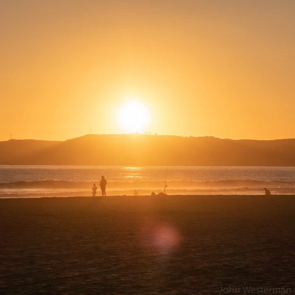
San Diego Coronado Beach at Sunset

Just prior to the lockdown I made many trips for work. One to the Denver area, one to San Francisco and another to San Diego. After return home from San Diego is when things got locked down. It was nice when I was there. The weather was perfect.

I shared dinner with a friend on the night the photo above was taken. People were out and about but in hushed tones. It was inevitable what was about to happen. Soon after I would be on a plane back home where I’ll remain for what looks like is going to be 4-5 months.

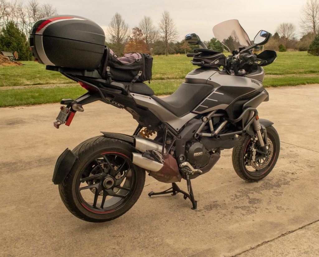
Ducati Multistrada 1200S

One of the machines I’ve been able to maintain is my Multistrada. It’s had a number of issues that I needed to repair which is now complete. But it’s fixed now and taking me to places that I like to go. Social distancing, of course. And just not this place:

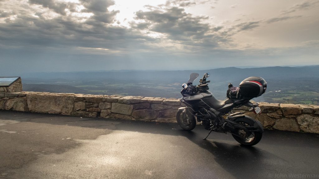
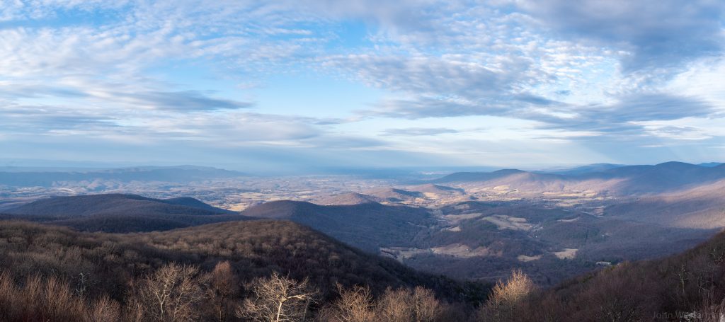
Shenandoah National Park – Hogback Overlook

Because that place is CLOSED!

So many places around here are closed. All my favorite parks, some of the roads, all of the restaurants and the like. I’ve still managed to get some fun riding in even though I am not stopping anywhere along the way. That being said, I don’t have a ton of photos to share of my recent exploits into nature.

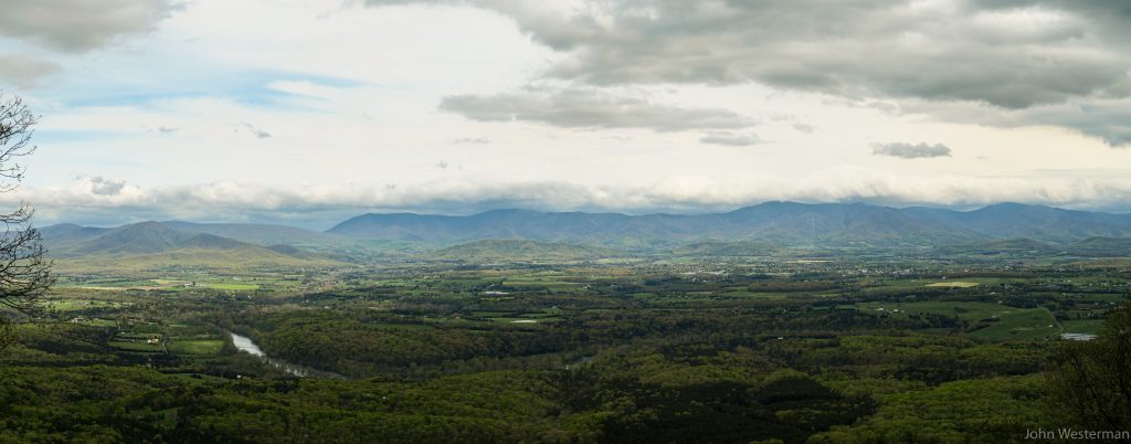
To keep people from gathering I’m also seeing various organizations blocking parking and otherwise making it very hard to really do anything including getting out for a walk or hike. This won’t last forever. One way or the other those barriers will be moved. There are simply not enough of “them” to keep “us” out. There are still other nice vistas around.

Kennedy Peak Trailhead – Luray, Virginia

Now that it’s warm I’ve been working more with the bees. I have 12 hives which have decided to split up on their own 5 times already this year. Of the 5 swarms I’ve managed to capture 4 of them. I’ve purchased two more hive boxes so if they swarm again I am hoping I can capture more of the bees. This should be a good year for honey production.

Of course, as much as I can I get out and fly my model aircraft of one type or another.

That’s always fun.

Then it’s spending time with the family I have close, eat, sleep and exercise beyond that.

The latest word on quarantine is that it’ll last through June. While other states (GA, TN) are opening up our states are much more conservative and likely will not. The virus is still taking its toll on people in the state so until that starts to go down I think this will continue.

Take care!

Oh, and wash your hands.

The Burn Pile.

Are you a member of “the burn pile”?

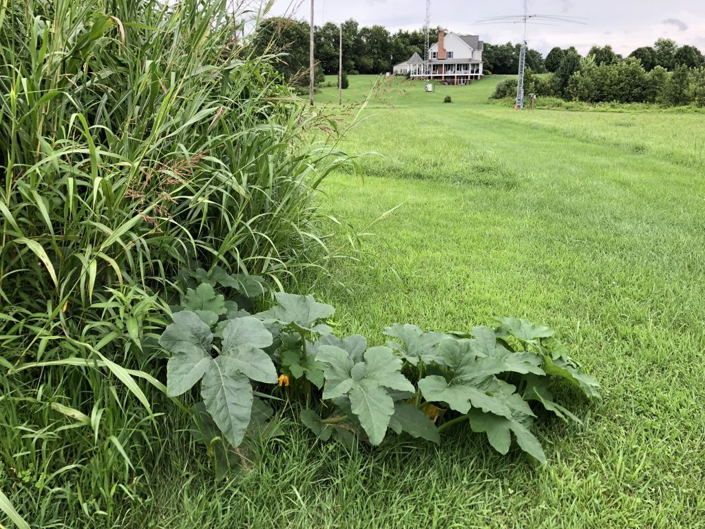
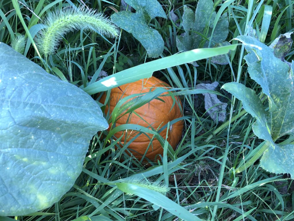
Left discarded, burned, frozen, trampled, ignored, then snowed and rained on over multiple seasons you can still produce perfect fruit.

There is a lesson to learn from this pumpkin who despite all the odds decided life was worth continuing, set down roots, leafed out, flowered and successfully made another pumpkin. It didn’t have to.

That’s the story of being a member of “the burn pile”.

In our lives it’s not easy to do things well but it can be done in spite of the people, places and things that tried to keep us from doing it so well.

We did it well anyway.

Welcome aboard the burn pile.

Shenandoah

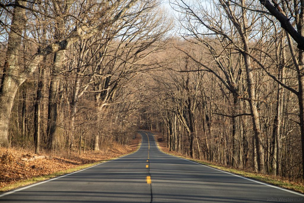
I’m lucky to live so close to the Shenandoah Valley. From my house to the middle of Skyline Drive at Shenandoah National Park may be 45 minutes of driving.

Mostly I’m out there on the weekend when I have time to waste driving around Virginia without worrying about work. When I do get there the views and quiet of the mountain is quite therapeutic. Most everyone slows down and just enjoys being out there.

Looking north towards Front Royal, Virginia.

Every part of the day in every different season will produce a different feel of the mountain. Some days I get to go out during the week when there are very few people there. In the winter it can be lightly traveled where it feels like you are the only one there.

Low Gap

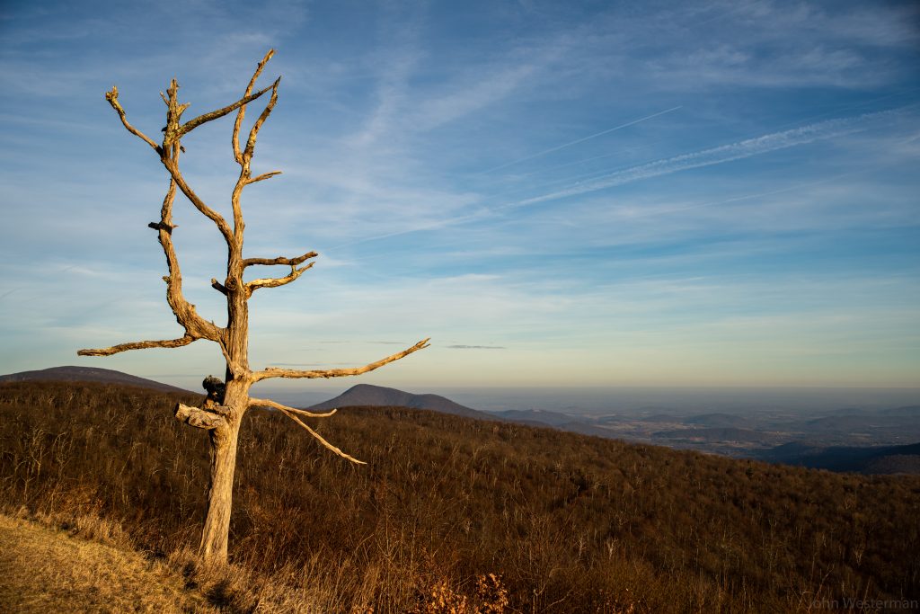
This old tree has been standing at Little Devils Stairs as long as I have lived in Virginia. This rest stop will be much different without the tree there once it finally gives in to gravity.

Little Devils Stairs

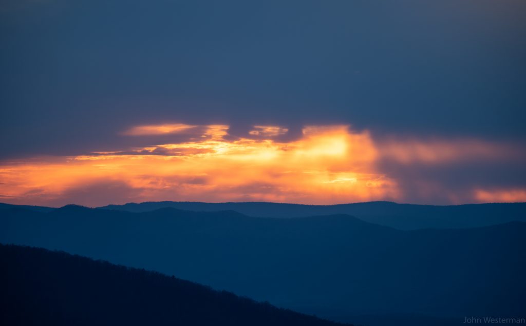
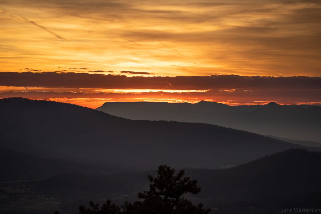
The sunsets can be quite a site to behold as well. Never disappointing even if it doesn’t show up from behind the clouds like you were expecting.

Looking west towards Luray, Virginia from Hogback overlook
Looking west towards Luray, Virginia from Hogback overlook on a previous trip

It turns out I’m never the only person there at a sunset like this. It’s a busy time on the mountain as people take selfies and then go about their way. If you can wait 10 minutes after sunset you will be left on the mountain alone again.

It’s these times I enjoy most alone in this sacred place.

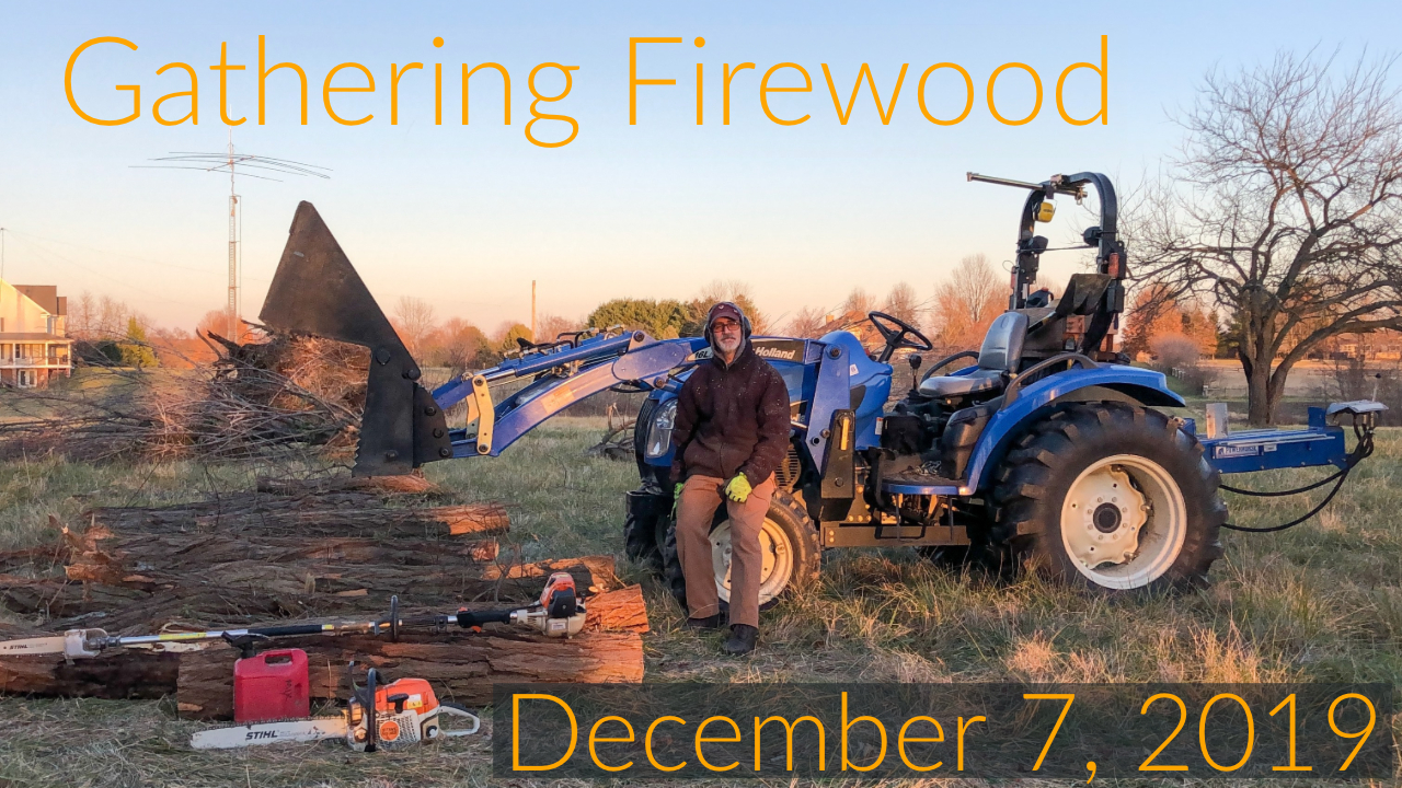
Gathering firewood.

There’s nothing nicer in the winter than sitting in front of a fireplace with a large supply of wood fuel.

A while back during a wind storm we had a locust tree blow down. It was a tall one at about 70 feet. When it came down it took down a bunch of other trees with it. These things are heavy!

Yesterday I went out to cut it in 6-10 foot sections where I can use my grapple to get them in a clearing where I can cut them into firewood sized chunks that can be split and stacked for the rest of the winter.

We use this firewood every day in the winter to keep our home warm. It is a nice source of renewable stored energy. When we use the fireplace it can be 10º outside and still be 75º inside.

We have a nice wood burning stove in our fireplace as an insert. Its a “reburner” which means it burns extra clean and put out almost no smoke from the chimney. And gets wicked hot.

The first step in getting a bunch of firewood is gathering all the wood into one location. The next step, which I’ll be doing today, is cutting, splitting and stacking it so we can have it dried out for the rest of the winter by the time we run out of what we already have.

Years ago I stopped buying pre-cut timber to burn in our fireplace and replace that wood with wood from our own property. We have plenty of wood here that falls on it’s own or a tree that dies that needs to be cut down. This also gives me an opportunity to clean out the underbrush as much as I can, trim the smaller trees, cut down all the vine that is so ugly and allow us to walk and enjoy the trees and wildlife that hangs around in them.

These days a truck load of timber can cost $600. That’s about a cord of wood. Its not much. Its a little work and time but I enjoy doing this.

I especially enjoy sitting in front of a blazing hot fireplace in the middle of winter around here.

Hunt like a Fox

Yesterday I witnessed Mongrel on a “hunting” exercise while I worked in my office. It happened kinda fast so I wasn’t able to pick up the actual event so you’ll have to take my word for it.

What I did do was grab my camera and head outside after he came back home from the hunt. This is how that went:

He is always so proud when he catches a mouse and brings it back home to the family. You’d think he would want to share it. But, no, he eats it all on his own.

Stingy black cat.

For a more complete story of my walks with Mongrel each day go to this link.

I hope you had a nice day today. If not, at least you are not a mouse.

Aquifers in the USA

I thought this was interesting.

Water is going to be a very big problem at some point in our history as humans. If it’s not already.

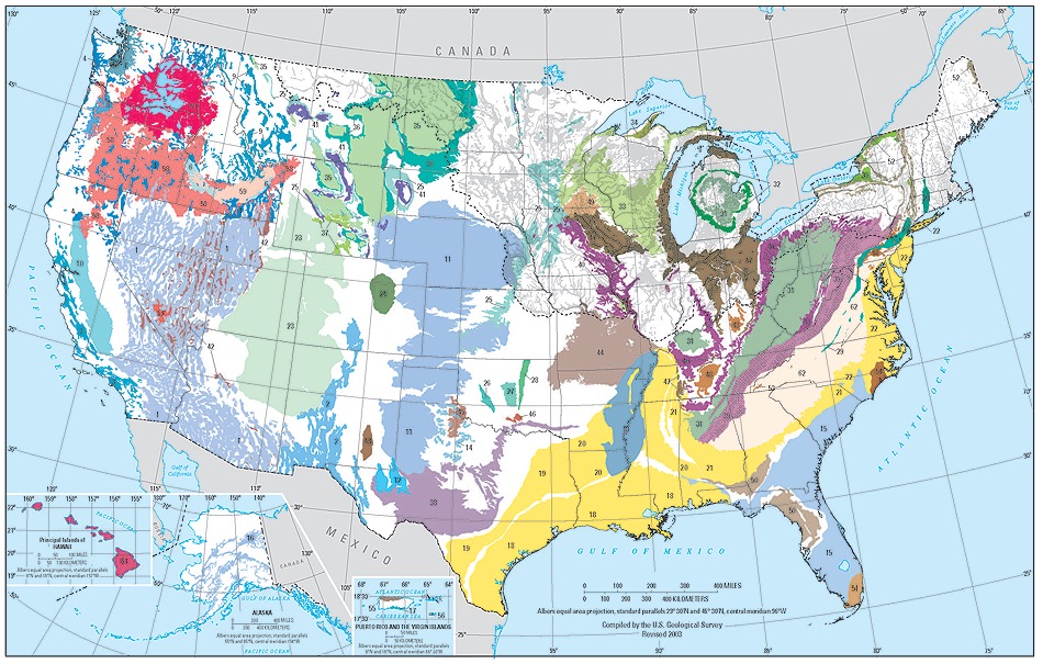
I had not seen a map like this before. The USGS put out a cool map with data on the USA aquifers. Click on the map for the PDF file that explains what the map means.

Principal aquifers of the United States (modified from Principal Aquifers, U.S. Geological Survey, 2003).

The areal and vertical location of the major aquifers is fundamental to the determination of groundwater availability for the Nation. An aquifer is a geologic formation, a group of formations, or a part of a formation that contains sufficient saturated permeable material to yield significant quantities of water to wells and springs.

A two-dimensional map representation of the principal aquifers of the Nation is shown below. The map, which is derived from the Ground Water Atlas of the United States, indicates the areal extent of the uppermost principal aquifers on a national scale. In this map, a principal aquifer is defined as a regionally extensive aquifer or aquifer system that has the potential to be used as a source of potable water. (For study or mapping purposes, aquifers are often combined into aquifer systems.)

More information on the USGS web page here. The book Water 4.0 is a good read on this topic.

Cygnus Launch

On Saturday November 2, 2019 NASA launched an Antares Rocket as a resupply mission to the International Space Station from the Wallops flight facility in Wallops, Virginia. Wallops is about 160 miles from my home.

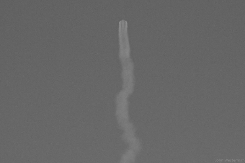
Wallops is fun because I can see the rockets as they start to enter orbit once they get pretty high in the sky (like 80,000 – 100,000 feet). In the evenings it is very easy to spot them but hard to photo. This is my first attempt to see if I can see them during the day.

Friday night I did the research on when the launch was going to be performed. They had a 5 minute launch window to complete the launch. I really wanted to drive to Wallops for the launch but knew I would not have the time due to my work schedule. I’ll save that trip for another time. My mission this time was to see if I could actually see the rocket from my home and do my best to photo the rocket on the horizon.

The morning was very clear and cold but hazy. The sun was very bright making the haze even worth. I didnt think I’d be able to get a decent photo of the rocket. During the event I am listening to an Internet stream from NASA giving me details of the launch in progress. So I had a decent idea of when I might see the rocket.

I decided to use my drone to photo my “process” before and during the launch. It would also serve as a queue on where to sync up the video after the event. I start the video about 2 minutes before launch. Here is that video:

Looking through a 600 mm lens is like looking through a very powerful telescope which makes it quite hard to find your subject “randomly” when you are holding it in your hand looking through a tiny view finder window. You really have to focus. And then focusing on such a faint subject so far away takes a little skill. Even so I was quite surprised that I could seen the rocket so clearly once I locked on the image through the long lens. It wouldn’t last long. Maybe 30 seconds.

The photo I took looked pretty good. Until I got it on the computer I didnt realize that it was in perfect focus and you could see the engine firing through the smoke of the contrail.

Cygnus NG-12

It turns out that I have to wait until the rocket is just about done with its first stage burn at an altitude of about 100,000 feet before it comes into view. For future launches this is helpful to know. And now that I’ve seen many of these launches I know exactly where to look on the horizon.

It was fun to participate in the event even if it was from afar. We’ll get out there soon during one of the launches in the future. Hopefully to get photos that are a little closer.

Fall Motorcycle riding.

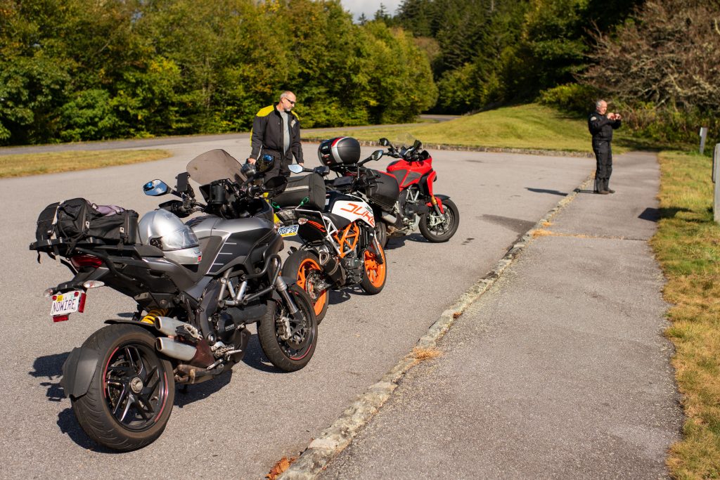
For the next month I’ll be out on my motorcycle enjoying the early fall season, change of colors and cooler weather. This week I was able to meet up with friends and coworkers and ride a little in North Carolina, Tennessee and South Carolina.

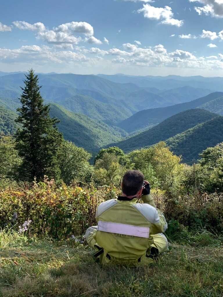
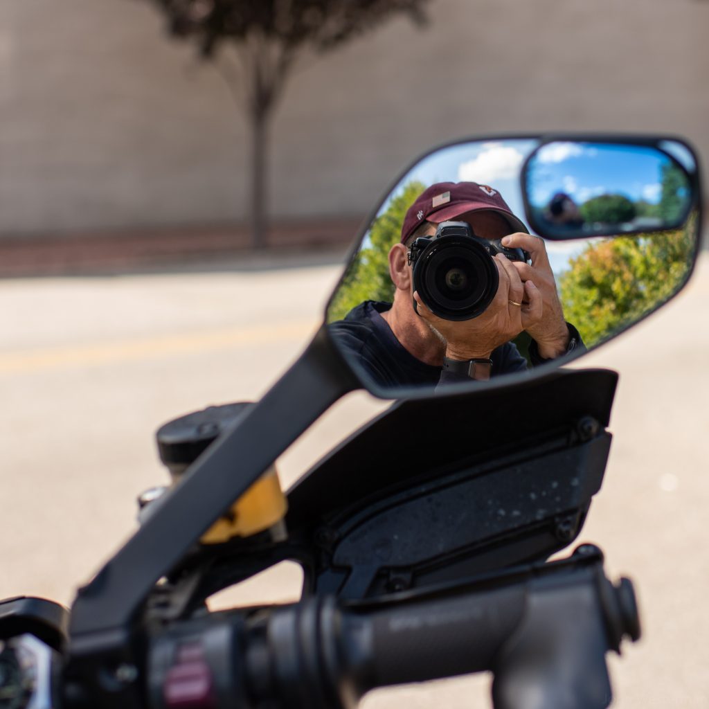
My friend Joe took a photo of me taking a photo.
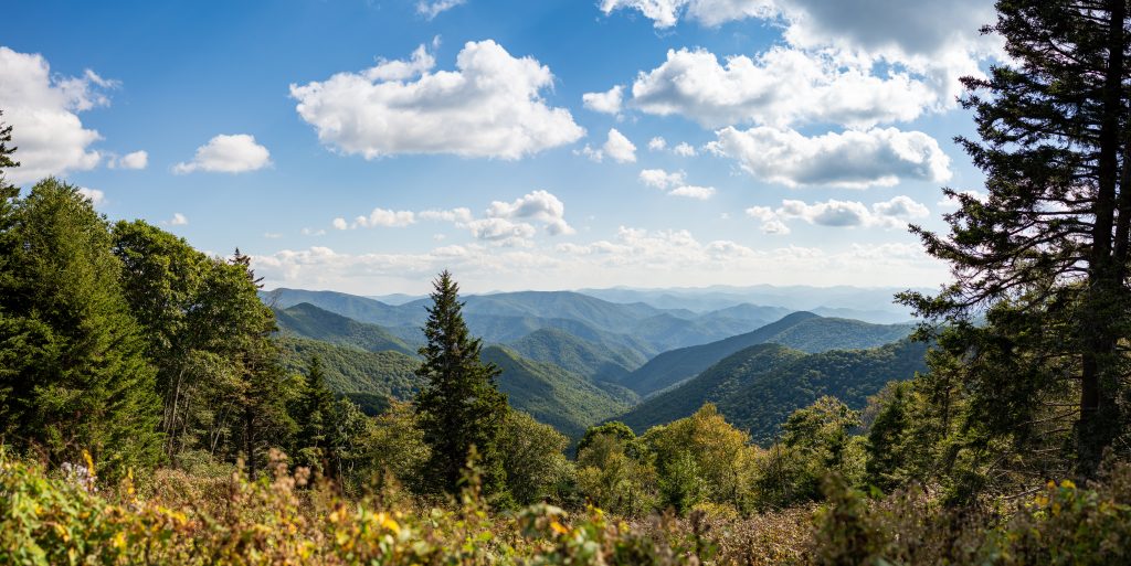
This was the photo I took. 50mm lens, bright light, underexposed then corrected for proper lighting.

The color and detail is just a tad different than an iPhone. No matter how the hype of the latest mobile phone cameras might be there will never match the clarity and color of a 50mm lens and some sort of professional camera behind it.

To get this shot I took 31 underexposed images in raw format. In post production I corrected for the low light and then stitched them together to make a single photo. Lately this is my go to panorama method. The 50mm lens has no round edges and the clarity is unbelievable.

An iPhone or similar lens can not “bokeh” an image by decreasing the f-stop which narrows the field of focus. They blur the background after the photo is taken but it look very fake and mechanical. Not smooth like only glass can do.

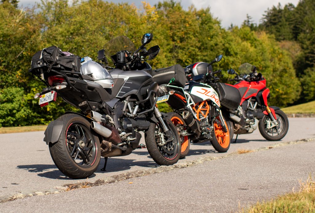
You can touch the images above to check out the detail.

John, Joe and the Three Amigos.
My Ducati could probably go forever. Me? I needed a break. This is at the end of our 370 mile day.
Picture in picture on a lunch break. 50mm, f2.8, 1/800th, ISO100.

I look forward the the trips coming up. It’s nice to ride this time of year.

Getting up early.

I’m not an early riser. I’m more likely to arrive at sunrise than start at sunrise.

When I do get up I’m likely either going to work to support my family or take a photo. If it’s to take a photo I generally take that photo and get back in bed.

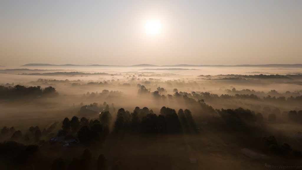
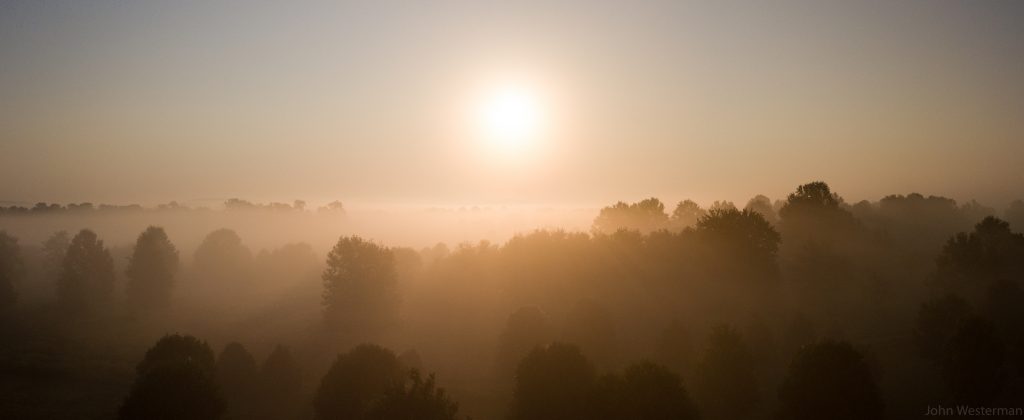
Today was a little of both. I had to get up to go to get ready to travel and I wanted to take pictures of the foggy morning. When I got up I noticed the fog outside so I grabbed my drone for a very short flight towards the sun.

Sunrise September 22, 2019

From the ground I could see the warm color light coming through the fog layers. The layers were very thin and it was quite clear on top. The photo above is only cropped. I made no other edits to it. I shoot in “raw” even on my drone so this is a raw imaged converted to static jpeg. The original is quite amazing with crazy detail.

Another shot lower to the ground but still above the trees.

The weather around here has been cold with high humidity at night under high pressure so the sky has been clear, no rain and lots of fog in the morning.