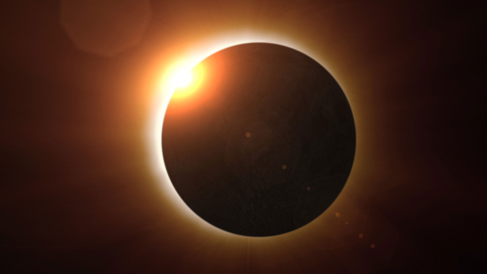
Attending a total solar eclipse was not anywhere on my bucket list a few months ago. A few months ago I decided to put it on my list and attend the solar eclipse that will happen on August 21, 2017.
We are going to be able to take in the solar eclipse on the line of totality in the small city of Andrews, North Carolina. We’ve been planning this trip for a very long time now and set off this morning to go “stare at the sun”.
We are going to view the eclipse right smack dab on the “totality line” which means for over two full minutes the sun will be completely GONE! That will happen at about 2:36pm on Monday, August 21.
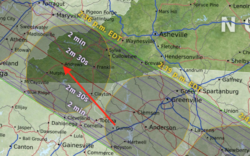
We’ll be camping on a ball field in Andrews where the totality line will pass through the outfield of the park. That is where we’ll be camping and viewing the event. I think the only thing we could do better is to be closer to the place on earth that totality will be the longest but that would only gain us about 2 seconds as seen from this map. That is just how close we are to the place that will have the longest totality experience.
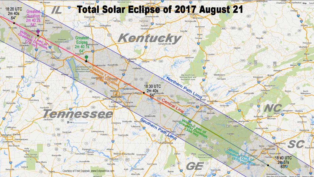
The drive down to NC today was like nothing I’ve experience before. We took a route mostly down I-81 which was gridlock at times on this perfectly clear weather day. Tomorrow I hope to capture some of the maps as Google/Waze keeps the route updates with the latest traffic flow information. If today is any indication, tomorrow will be a serious travel headache for many who plan on coming down then. Monday? Forget it!
This is going to be a continuing document. As I write down my experience I’ll upload all of the details as I have access to the Internet. I’m told by many that where Internet was normally available it might not be available on Monday. Or to even make a phone call for that matter. That being the case, I have brought my radio equipment for both entertainment and in case an emergency really does happen I’ll be ready to figure it out. I also plan on doing some science with radio in the coming days.
It’s Sunday, August 20 now. We left Bryson City around 9am this morning and headed on to Andrews, NC where we’ll be setting up our tent for the night so we don’t have to travel tomorrow to the location where we will be viewing the eclipse.
Part of what I did today was volunteer some time to help the science teacher of the middle school in Andrews explain some radio science that NASA provided to the school. They did hourly presentations on “radio JOVE” which is what I have been helping with.
As I get more information, photos and the like I’ll keep this updated. Right now I’ve completely run out of juice and have to got to bed.
Update: It’s 11:45 and we just got home about 30 minutes ago, unpacked and ready for the day tomorrow. We were on the road today for 14-15 hours trying to get back home in gridlocked traffic jams all the way up to DC. That was after going 74 miles in 3-4 hours yesterday right after the eclipse. I don’t have the energy to stay up all night and then work all day tomorrow so I’ll get with my photography tomorrow.
C1 to C2 contacts points:
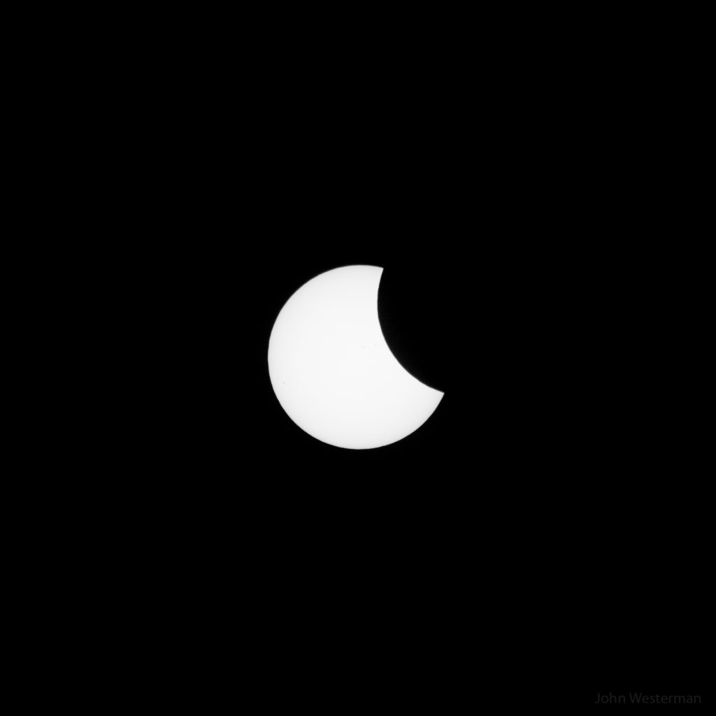
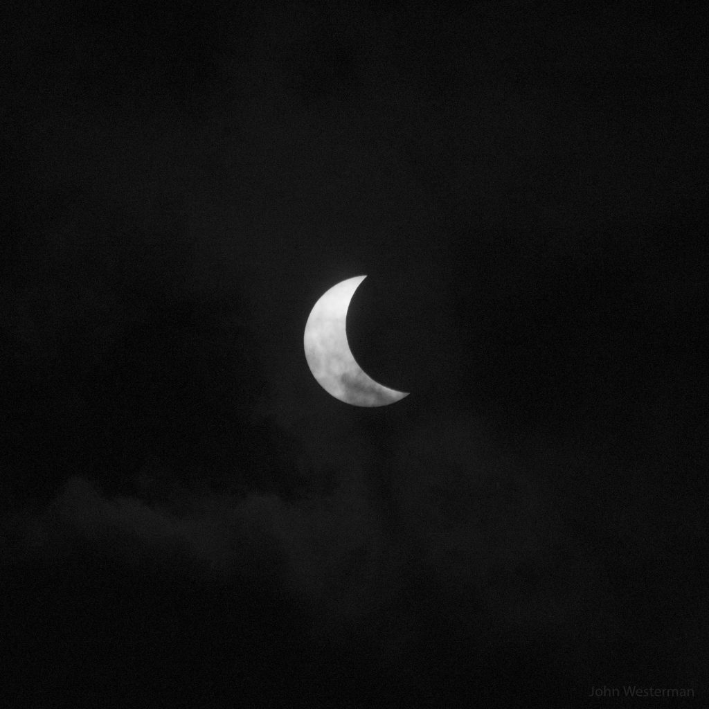
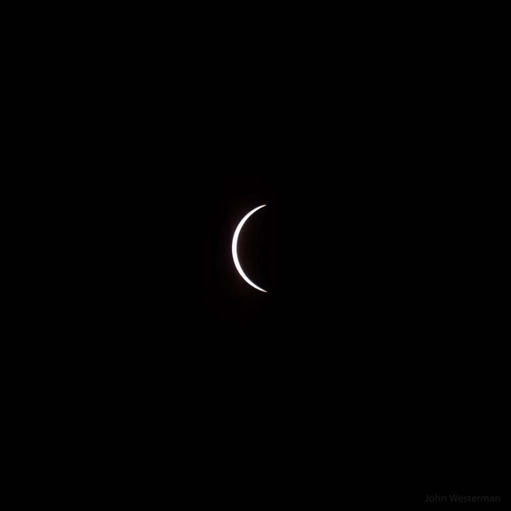
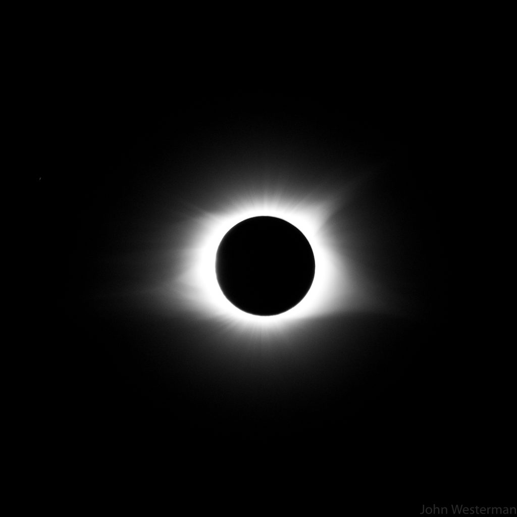
More to come… I have to get up at 5:30 to go to work tomorrow.
It’s August 24, 2017, a little after midnight. I’ve been working on some of the time lapse photography today and think I have a sequence going after sorting through 10,000 photos. My computer was acting a bit strange as I worked to sew things together. I’ve finally got a first-cut sequence in the works. It’s taken over an hour so far for my computer to start the process which it’s about 80% through now. I’m going to try to stay up to get to the point of rendering a video and then head on to bed.
I’ve notice that my GoPro camera might be in the process of failing as some of the images didn’t come out perfectly. I think I’ll be able to take some of the images out that didn’t take properly. Some of them were corrected when I cropped the images. When you watch the video you will notice some pink images from time to time. That’s an error in the GoPro camera.
To process the images I use a tool called “LR Timelapse Version 4” I’ve used this program for years. The developer, Gunther Wegner, has kept this software updated and improved over the years. It works in conjunction with Adobe Lightroom to be able to edit the sequence the way you want. Essentially, Lightroom does the heavy lifting for editing enmasse and outputs to LRTimelapse for the sewing of the video. I don’t know how else you’d do something like this and you certainly could not do it easily by hand. 30 years ago, I don’t know how you’d put this together with a film camera either.
Lightroom has the ability to make massive edits to thousands of files for things like lens correction, which is important for a GoPro camera to correct aspect ratios, image quality, size, shape, color correction and similar settings. For example, I can crop the first image to a 16:9 aspect and have all of the other photographs have the exact same cropping.
16:9 aspect is very common. It’s the size and shape of most TV screens and computer monitors. Whereas a 1:1 aspect ratio is good for a photo or video posted on Instagram. I don’t know why Instagram likes square stuff, but ok, whatever. They like you to fit your round objects in their square sockets which is one big reason I don’t like using Instagram for stuff like this. Sometimes my stuff is portrait, sometimes landscape. Most often it’s larger then they allow on their servers. Sometimes it’s not worth the trouble to fit my stuff in their format so it doesn’t get posted there.
Facebook will let you post anything you want in the aspect ratio you prefer but what they won’t do is keep the image quality to it’s original for either a photo or a video.
Back on this video. When I finish the first cut I’ll have to work on the final cuts. For that I use Apple Final Cut Pro which allows me to edit video at scale and add anything I want to it like captions, music and the like. I haven’t figured out what I want to do in that regard yet.
After the first cuts I’ll have to figure out how annoying the bad images are going to be and then go through them one at a time and either edit or remove them. After I do that I’ll have to get a new first cut which will take another 2-3 hours of rendering. As I write this paragraph the process of rendering the first cut for the first time has started.
When this first cut is complete I’ll have to find a place to post it so you can download or view it. That will likely be YouTube because DropBox frowns on that kind of thing and don’t allow embedding like I plan on doing here.
While we wait on that, it’s a good time to mention the Eclipse of 2024. You will need to start planning this event now. Figure out where you want to be in the path of the eclipse. Tilt things in your favor by making sure you are in a place where the weather will cooperate traditionally for you in the area you want to go. For more information on that eclipse you can go to NASA’s web site here. We plan on going!
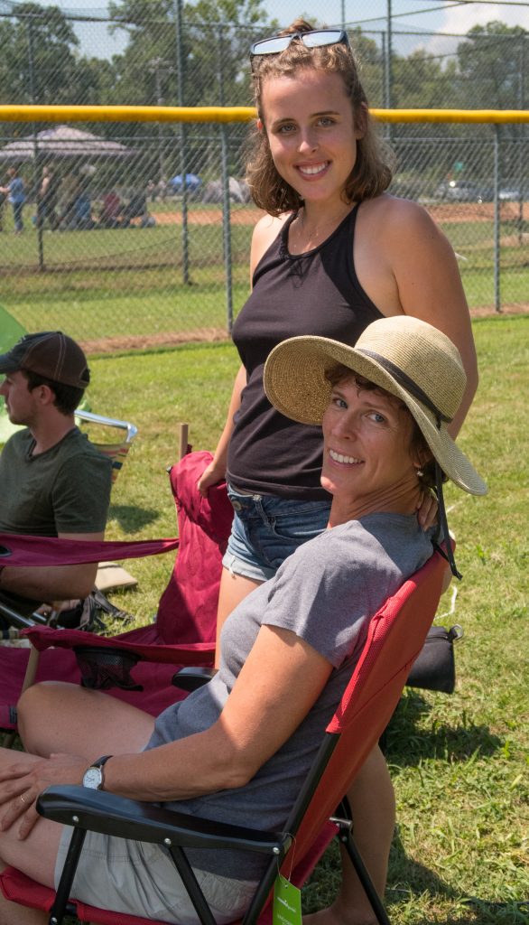
Helen and some of her friends came down to join us from college at Virginia Tech University. They set up their tents next to ours on Sunday night and were able to enjoy the eclipse with us.
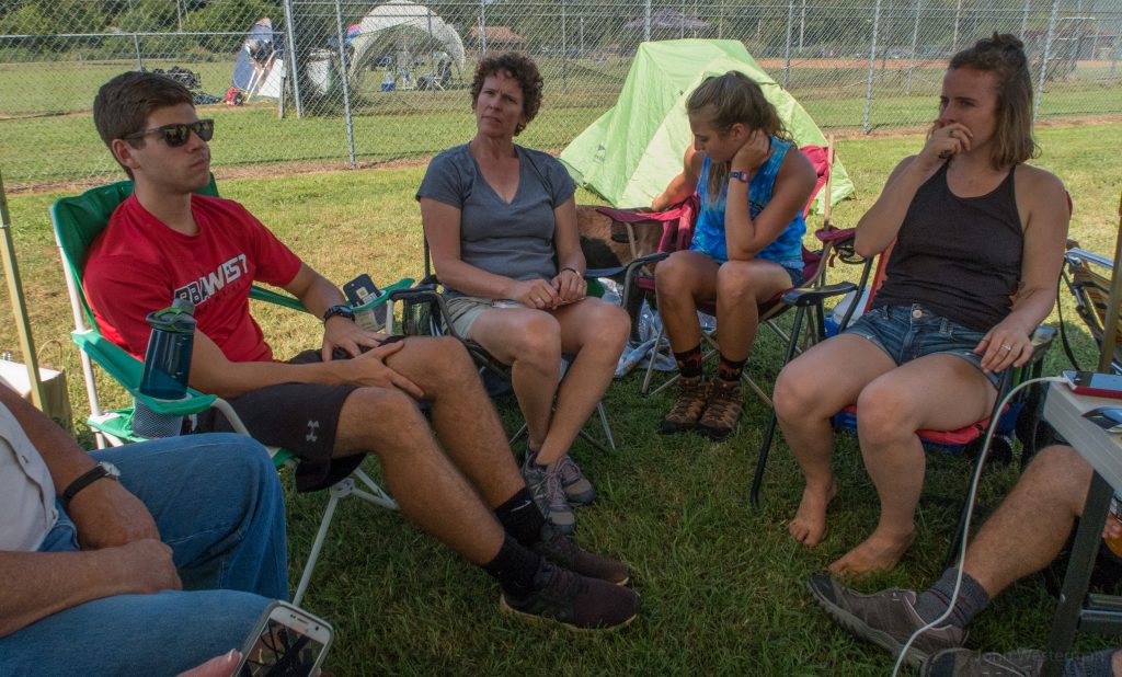
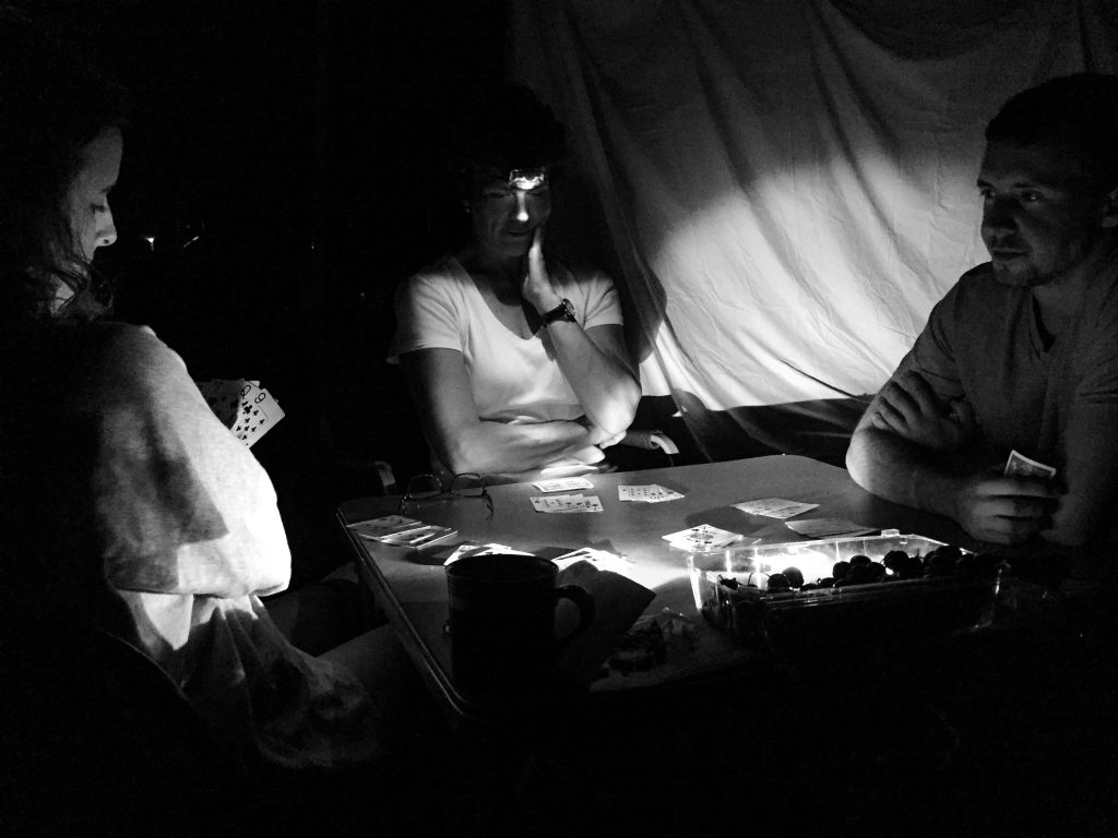
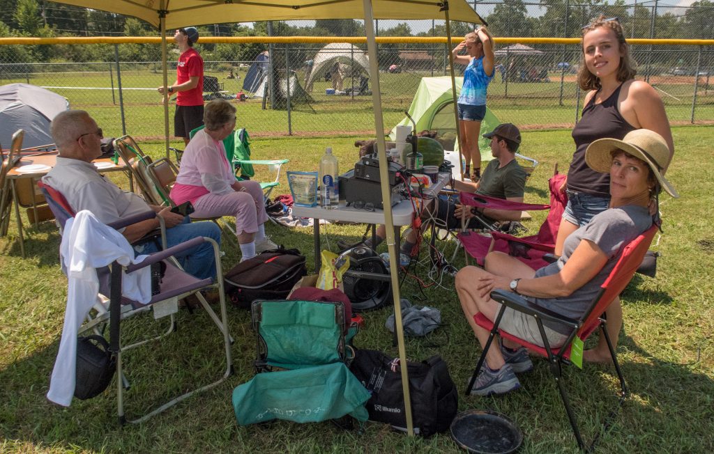
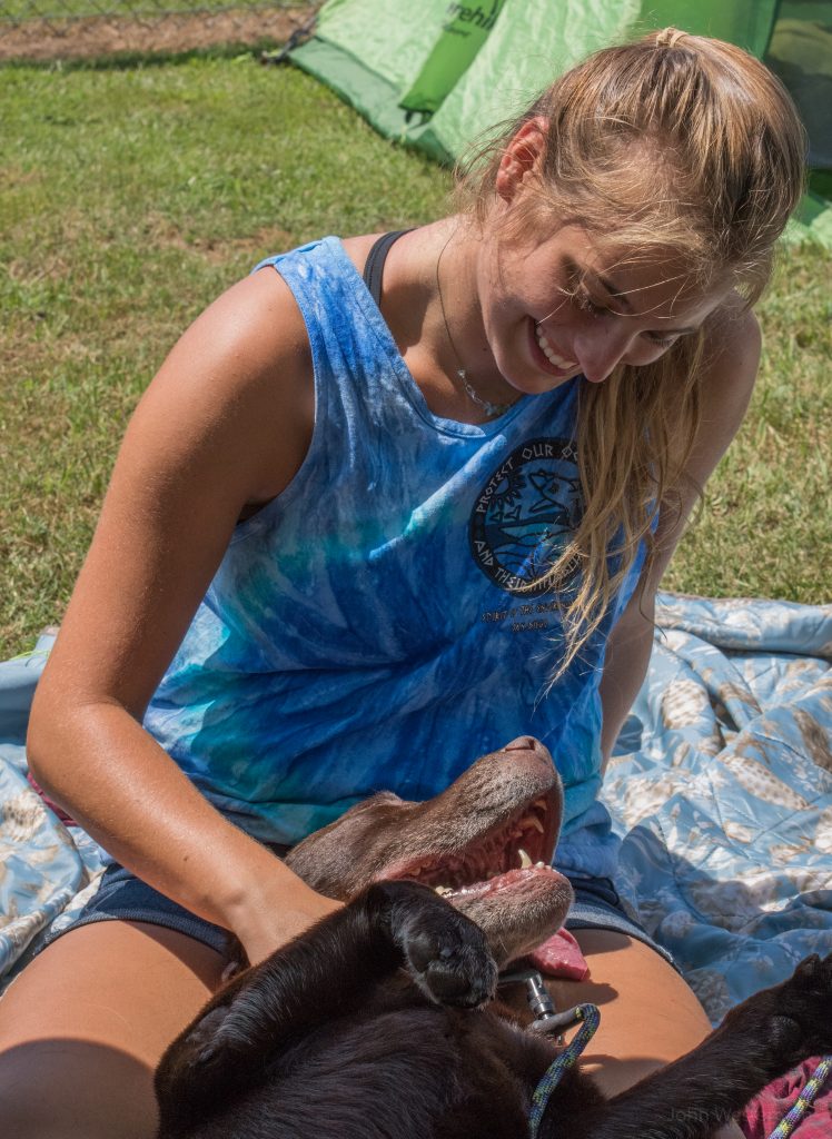
While we waited for the eclipse to arrive there was much tale telling under our shade tent. My only regret was not taking more actual video of people talking, especially during the eclipse, and more photos of just the normal happenings around me. Gloria picked up my professional camera and didn’t know the focus is “manually activated” so a lot of the photos she took were blurry. While they help tell the story I am not going to publish them here.
It’s no surprise to my family but I brought some of my radio gear with me to have while I observed the eclipse. There was a ton of chatter on all of the bands about what was about to happen. We were on a “grid square” of EM85 with a coordinate of 35.20490 -83.81650. I used this coordinate to calculate the exact time of all of the event contact points.
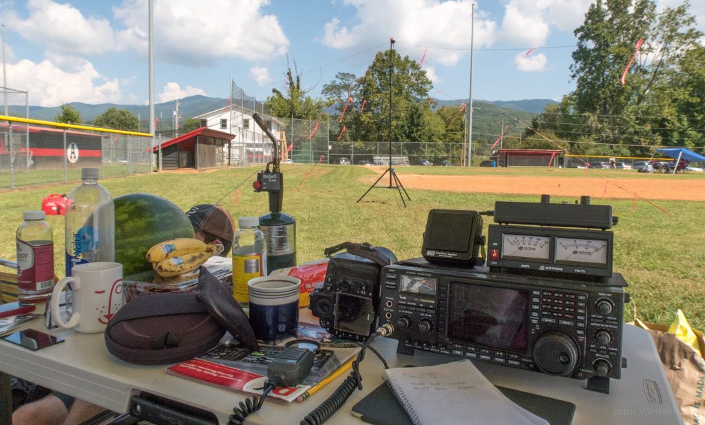
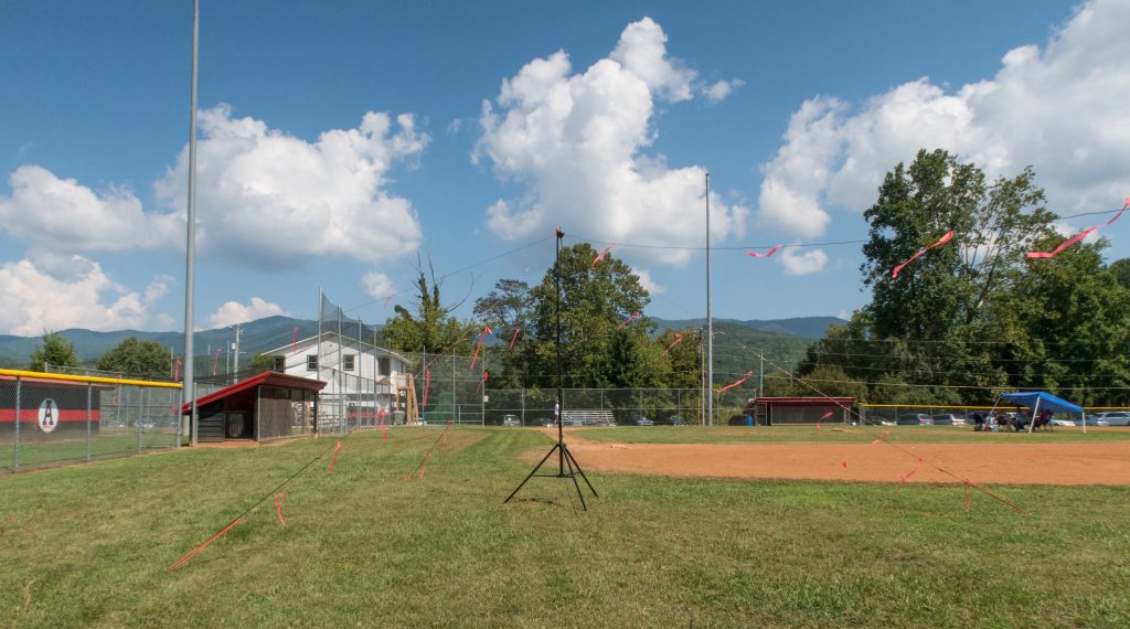
The antenna is built out of common wire I bought at Lowes, constructed in my back yard and tuned to the frequencies I wanted to operate. It worked perfectly for what I was using it for. It’s not like my other station antennas that are very high off the ground for maximum effectiveness but it worked just fine. I made many contacts in the 0-3500 mile range just like I expected I would.
Here is the first cut of a time lapse from my GoPro:
The idea was that I would capture everything going on around us. There was a flurry of activity before, during and after the eclipse. During the eclipse everyone cheered, shot off fire works and otherwise celebrated the event. That was a ton of fun. As soon as totality was over people started packing up and heading out!
We were also able to capture the “Shadow Bands”. Shadow bands are thin, wavy lines of alternating light and dark that can be seen moving and undulating in parallel on plain-coloured surfaces immediately before and after a total solar eclipse. They are caused by the solar crescent thinning to a narrow slit, which increasingly collimates the light reaching Earth in the moments just before and after totality.
I think it’s fun that at some point the camera was thrown into the sheet, probably unconsciously, to watch everything going on around us.
We didn’t. We packed up slowly and planned to load up the car and head into Andrews for some dinner while the traffic bled off a bit. We could tell it was going slow on the road so we thought we’d let it loosen up. Little did we know that in the next 24 hours it will be very difficult to get back home.
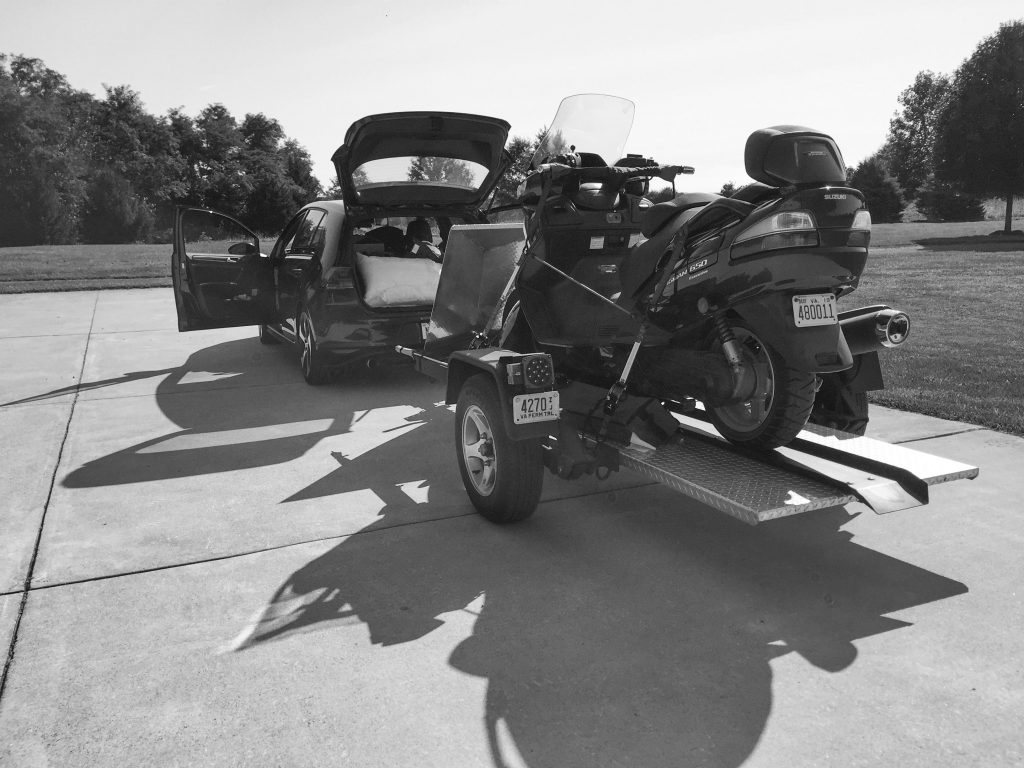
After we has some dinner, packed up the car, motorcycle and trailer we took off from Andrews and headed out the only real road out of town towards Asheville. We thought the traffic would have thinned by the time we got on the road hours after the eclipse where all the eager types had blazed the trail in front of us. It was a good plan anyway.
But that plan didn’t work out. After 4 hours and being rerouted by Waze several times we were in Maggie Valley only 74 miles towards our destination in Northern Virginia. We decided to stay the night and let the traffic continue to bleed off. We thought that was a good plan.
But that plan didn’t work out either. Traffic was pretty good through Asheville and on to I-26 north but the second we got on I-81 our luck changed. The traffic was essentially gridlocked from the intersection of I-26 and I-81 all the way home although we wouldn’t learn the latter until well into the trip north.
Our plans just kept changing as we tried to make it all the way home. At Blacksburg Waze routed us again through the city of Roanoke which even I knew that plan was not a good one. So we got off the main path and headed west towards route 219. SR219 is a goat trail best driven by a motorcycle but we were in a car pulling a motorcycle so we made the best of it. There was very little traffic on the road between Blacksburg and I-64 where we headed east to SR220.
From there it was north towards WV SR48 where we got back on to I-81 into guess what? Yep, grid lock traffic. It was slow going until we got off to SR7. The rest of the trip was uneventful but we were beat tired.
I have to get up in the morning at 5:30am to attend meetings all day in Baltimore. 5:30 will come early.
And all of the logistical nightmare was worth the 2.5 minutes of totality. I’d do it all again tomorrow if there was an eclipse featuring solar totality. We have our sights set on 2024 for the next total solar eclipse.
A solar eclipse wasn’t on my bucket list. It should have been on the short list. I highly recommend you make it to one in your lifetime if you can.
See you in 2024 somewhere on the line that is totality!!
